This post is a personal exploration on Estuarine Mapping I’m doing.
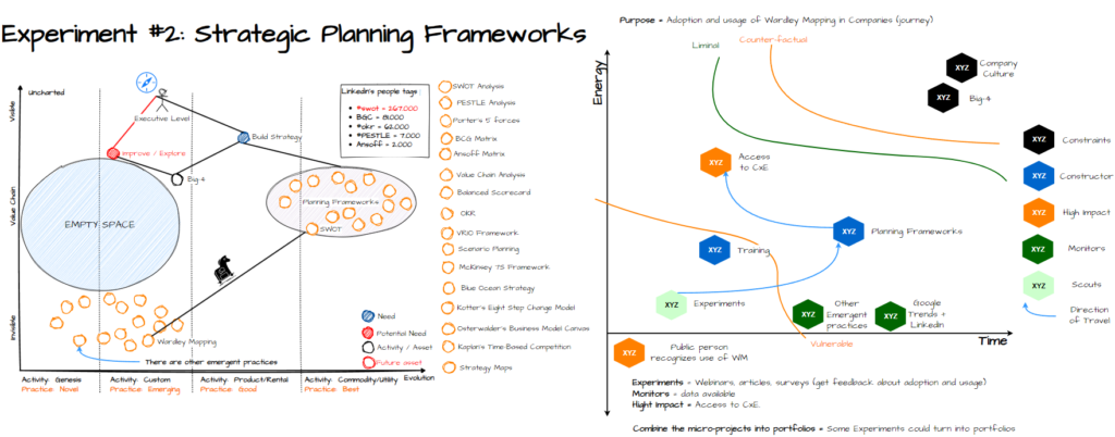
The context or case I’m using is represented in the Wardley Map on the left. This comes from a experiment we are doing related to the way to reach better to companies on using and adopting Wardley Mapping.
To me is the first use of Estuarine Mapping, so challenge all you see, and ask questions if you are in the same boat than me. For those that have not read about Estuarine Mapping, please take into account that is not as intuitive as a Wardley Map (which is not easy either).
I’m not documenting all the thoughts I have about this scenario, it will take me hours. I’m happy with the discussions we are doing in the meetings of WMfB community, but I’m open for discussion on both on them.

The picture is not 100% clear, so I will split in two:
1.- Wardley Map

2.- Estuarine Map

Notes and feedbacks
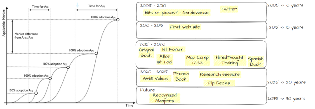
Dave Snowden suggested me to look into the Flexuous Curves. The equivalent of Wardley Maps in the Cynefin Pantgeon is Flexuous Curved.

We are following the different diffusion curves on WM, but it’s true we have not discussed about each component and it’s own stage of diffusion and evolution (as suggested in Flexuous curves). This is what we have done, but should be look into detail:
