If you use Google Maps, you probably know that it offers different versions depending on where you connect from.
I did an test today with a colleague from India.
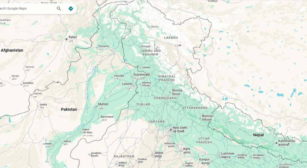
This is how the Maps of Kashmir zone is drawn for a user accessing from India. You can see how the borders are clearly defined.
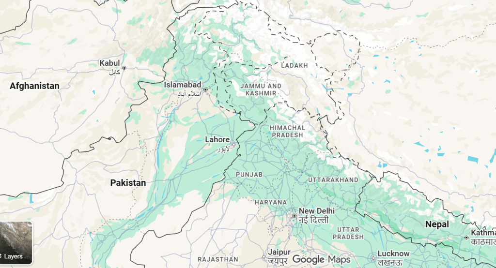
The same screenshot accessing from US is like this:
I use to work with Wardley Maps and I always say “don’t trust the mapper, the mapper is biased or can have intentions or incentives different to yours”.